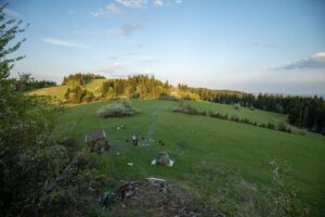
The wooded hill Osly with an altitude of 859 m above sea level is located north of the town of Stará Ľubovňa on the main ridge of the Ľubovnianska vrchovina mountain range.
This pleasant place to relax in the lap of nature is a popular place for cyclists and hikers, which is why there are several marked trails. If you go there from Stará Ľubovňa, follow the route marked with a red sign, which can take about an hour and a half. If you take a different route, for example from the Vabec saddle, the route marked with a yellow sign can take about an hour. You can also use these routes as a way back.
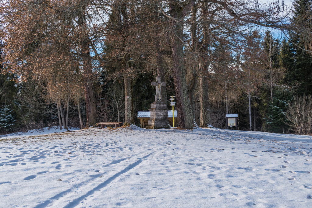
From Osla you can enjoy the view of Spišská Magura, Levoča Mountains and Polish Sącz Beskydy Mountains. About a hundred meters north of the marked route with a green marker there is also a well - Water Source. At the very top you will find a crossroads with some of the already mentioned trail markings, yellow - direction saddle Vabec, green - direction Kače - Mníšek nad Popradom and red - direction Stará Ľubovňa, Ľubovniansky castle, but also the opposite directions to Hliniská, Sliboň or Sulín.
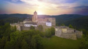
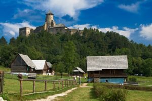
Start of the route: Ľubovniansky castle - tourist crossroads (630 m above sea level)
End of route: Donkeys (859 m above sea level)
Time: 1:10 h
Distance: 3.2 km
Climb: 249 m
Dropping: ↘ 29 m
Highest point: 859 m above sea level.
Lowest point: 630 m above sea level.
Cover photo: sk.mapy.cz