


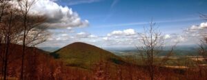
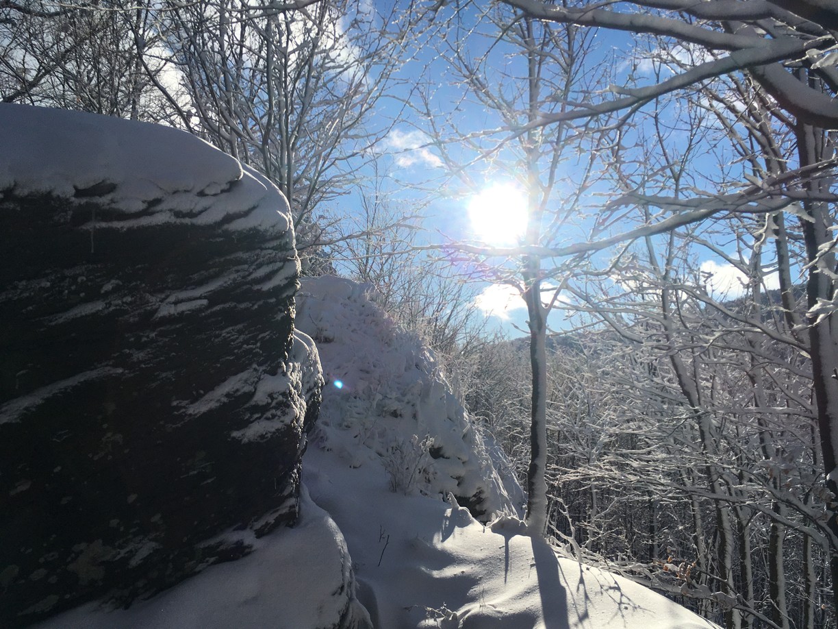
Ivanov vrch (813 m above sea level) is one of the many tourist destinations of the visitors of the Slanské vrchy Mountains. This distinctive hill is located off the main ridge and consists of two separate peaks (East and West) separated by a small saddle. The hill offers beautiful views especially on Praporec, Šimonka, Čierna hora, Oblík and Čierna hora.
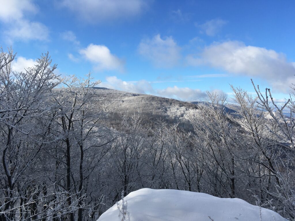
Ivanov vrch as well as its surroundings offer great hiking in every season. Beautiful forests of beech, ash and maple trees are interspersed with rugged rock scree and high cliffs.
An easy hike along marked trails leading through the pleasant forest environment of the Slanské Hills, you can start in the village of Hermanovce nad Topľou (about 3 km), in Zámutov or in Hlinno or Rudlov. There is also a marked cycling trail below the top of Ivan's Hill.
Route No.1
Start of the route: Hermanovce nad Topľou (290 m above sea level)
End of route: Ivanov vrch (813 m above sea level)
Time: 2:00 h
Distance: 5 km
Climb: 523 m
Dropping: ↘ 0 m
Highest point: 813 m above sea level.
Lowest point: 288 m above sea level.
Route No.2
Start of the route: Hlinné (145 m above sea level)
End of route: Ivanov vrch (813 m above sea level)
Time: 3:16 h
Distance: 7,4 km
Climb: 700 m
Dropping: ↘ 32 m
Highest point: 813 m above sea level.
Lowest point: 144 m above sea level.
Route No.3
Start of the route: Zámutov (290 m above sea level)
End of route: Ivanov vrch (813 m above sea level)
Time: 2:55 h
Distance: 8.6 km
Climb: 633 m
Dropping: ↘ 110 m
Highest point: 836 m above sea level.
Lowest point: 290 m above sea level.


