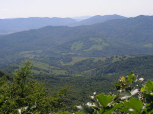
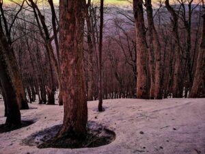
The Russian Saddle reaches an altitude of 801 m above sea level and divides the Slovak and Polish Republics. It is a pass located in the ridge of the Bukovské hills, between the Kruhliak and Rypy mountains.
Difficulty: Hard
Length: 19.58 km
Time: 1:58 h
Elevation: ⇗ 665 m above sea level ⇘ 244 m above sea level
Beginning: Popoľa 366 m above sea level
The end: Russian Saddle 801 m above sea level
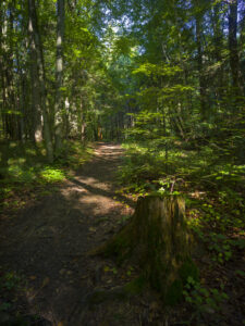
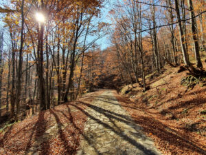
Surface: Forest road, asphalt, gravel
Type of bike: Mountain
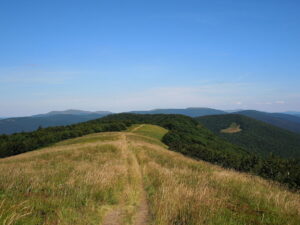
Photopoint: Russian saddle
Description of the route for cyclists: From Topole you can reach the Ruská sedlo by the yellow cycle route through the village of Ruské, from there the red and green cycle route leads to the saddle.
The saddle was officially declared a camping site. Directly in the saddle there is a popular tourist shelter, which has a capacity of 8 sleeping places. It is necessary to have your own sleeping bag and a mattress. There are several nature trails as well as cycle paths through the area.
The Cirocha River rises near the saddle, whose water is captured by the valley below. water reservoir Starina. For this reason, several Ruthenian villages disappeared in the past, which worsened the access to the saddle from the Slovak side.
In the past, the so-called Porta Rusica, the link between Hungary and Halych, from 1861, led through the saddle. Stone road "Porta Rusica" is a cultural monument.
Route from Slovakia:
- after
 brand Runina - Russian - Russian saddle
 - after
 brand, which is part of the International long-distance tourist route E8 a Eastern Carpathian Highwayleading from the Laborecký priesmyk further to Vysoký grúň (904.9 m above sea level)